
Μία από τις πιο ζεστές ημέρες του Ιουνίου διανύουμε σήμερα, Τρίτη, ενώ αύριο, Τετάρτη η θερμή εισβολή θα συνεχιστεί. Το κύμα… καύσωνα των πρώτων ημερών του Ιουνίου θα αρχίσει να υποχωρεί από την Πέμπτη, όταν, σύμφωνα με τον Κλέαρχο Μαρουσάκη ξεκινούν τα μελτέμια, που φέρνουν έως και 7 μποφόρ στο Αιγαίου.
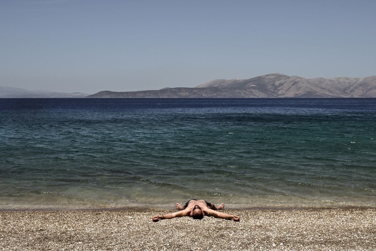
Μέχρι τη δροσιά της Πέμπτης, ωστόσο, σήμερα και αύριο θα νιώσουμε τα 38άρια και ίσως τοπικά 40άρια στο δέρμα μας.
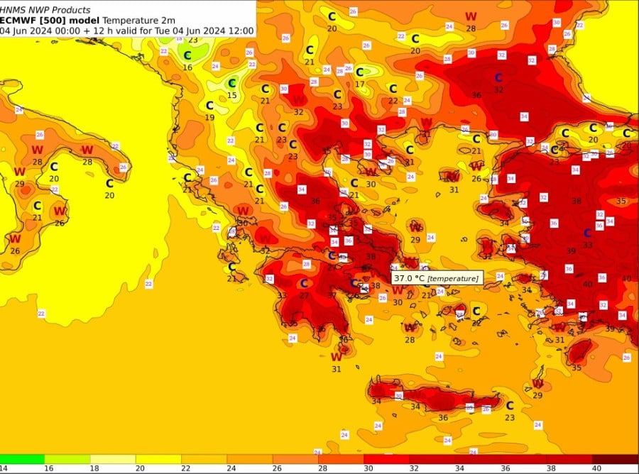
O διευθυντής της ΕΜΥ, κ. Θεόδωρος Κολυδάς με ανάρτησή του στο Twitter δίνει χρήσιμους χάρτες με τις θερμοκρασίες που θα επικρατούν σε όλη την Ελλάδα.
Όπως θα δείτε τις πιο υψηλές θερμοκρασίες έχει η Βοιωτία, με τον υδράρυγρο να δείχνει τους 38 βαθμούς.
Μέχρι τα μελτέμια της Πέμπτης, η Τετάρτη θα είναι μια πολύ ζεστή ημέρα, σύμφωνα με τη μετεωρολόγο της ΕΡΤ Αναστασία Τυράσκη.
Οι υψηλότερες τιμές της θερμοκρασίας προβλέπεται να φτάσουν και πιθανώς πολύ τοπικά να ξεπεράσουν λίγο τους 37 με 38 βαθμούς, ενώ θα σημειωθούν σε περιοχές κυρίως της ανατολικής Στερεάς, αλλά και της Θεσσαλίας, της Πελοποννήσου, της Θράκης, της Κρήτης και των νησιών που βρίσκονται στο ανατολικό Αιγαίο πλησίον της Τουρκίας.
Σταδιακή αποκλιμάκωση της θερμοκρασίας αναμένεται από την Πέμπτη, οπότε και θα επικρατήσουν ισχυροί βοριάδες, που την Παρασκευή στο Αιγαίο θα φτάσουν τα 7 μποφόρ. Το σαββατοκύριακο η θερμοκρασία στα ηπειρωτικά προβλέπεται να φτάσει τοπικά τους 35 με 36 βαθμούς, ενώ στη νησιωτική χώρα τα πράγματα θα είναι καλύτερα, καθώς θα πνέουν βόρειοι άνεμοι που θα φτάνουν τα 7 μποφόρ στο Αιγαίο.