
Από την 1η Ιουνίου 2022, το meteo.gr ξεκίνησε την παροχή προγνώσεων πολύ υψηλής ανάλυσης για τις ελληνικές θάλασσες. Αξιοποιώντας τα αποτελέσματα του νέου προγνωστικού μετεωρολογικού μοντέλου σε ανάλυση 2x2 Km, είναι πλέον δυνατή η παροχή προγνώσεων καιρού για 3 ημέρες στην ανάλυση των 2 km για όλη την Ελλάδα.
Σημειώνεται ότι η ανάλυση αυτή είναι η υψηλότερη που παρέχεται επιχειρησιακά σήμερα στη χώρα μας.
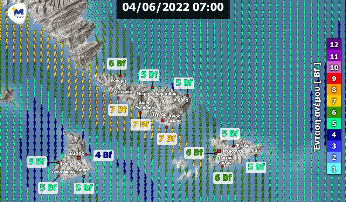
Η σελίδα της νέας υπηρεσίας, βρίσκεται στον σύνδεσμο https://www.meteo.gr/windHDmain.cfm, παρέχοντας πρόσβαση σε βίντεο ανέμου (Εικόνα) για τις ακόλουθες 19 περιοχές της χώρας:
- ΣΑΡΩΝΙΚΟΣ
- ΧΑΛΚΙΔΙΚΗ
- ΣΠΟΡΑΔΕΣ
- ΛΕΥΚΑΔΑ
- ΚΕΡΚΥΡΑ
- ΖΑΚΥΝΘΟΣ
- ΚΕΦΑΛΟΝΙΑ
- ΣΠΕΤΣΕΣ - ΥΔΡΑ
- ΛΕΣΒΟΣ
- ΧΙΟΣ
- ΤΗΝΟΣ - ΜΥΚΟΝΟΣ - ΣΥΡΟΣ
- ΠΑΡΟΣ - ΝΑΞΟΣ
- ΡΟΔΟΣ
- ΔΥΤΙΚΗ ΚΡΗΤΗ
- ΚΕΝΤΡΙΚΗ ΚΡΗΤΗ
- ΑΝΑΤΟΛΙΚΗ ΚΡΗΤΗ
- ΚΟΛΠΟΣ ΚΑΒΑΛΑΣ-ΘΑΣΟΣ
- ΛΗΜΝΟΣ
- ΣΑΜΟΣ - ΙΚΑΡΙΑ
«Η παροχή αυτή ευελπιστούμε ότι θα βοηθήσει στην υποστήριξη της ναυσιπλοΐας κάθε μορφής, στις ελληνικές θάλασσες», σημειώνει το meteo του Εθνικού Αστεροσκοπείου.